
Reconstruction in Woodland, WA: what we see locally
Woodland sits where the Lewis River meets the Columbia, straddling the Clark–Cowlitz county line about 20 miles north of Vancouver at the junction of I-5 and State Highway 503. The city incorporated in 1906, growing out of a single general store opened in 1881 by Christopher Columbus Bozarth on a farm his parents had named for its stands of fir. Around 6,500 residents live in a city split cleanly in two by the interstate.
West of I-5, Old Town and West Woodland hold the city's older Craftsman-era housing stock, walkable to the small downtown — original supply lines and older wiring are common there. East of I-5, along the Pekin Road and Lewis River Road corridors, most homes date from the 1990s through the 2010s on quarter-acre-plus lots, built out as the city grew past the freeway.
The Lewis River and the Columbia River floodplain define Woodland's water exposure more than almost any other city TIK serves. The 1948 flood devastated Old Town Woodland, and a 1996 flood hit the city's northeast residential section hard; standard homeowner policies don't cover river-overflow flooding, so many Woodland residents carry separate NFIP flood coverage. Away from the river, low-lying areas near the Columbia floodplain have clay-heavy soils that drain slowly, producing standing water against foundations even without a flood event.
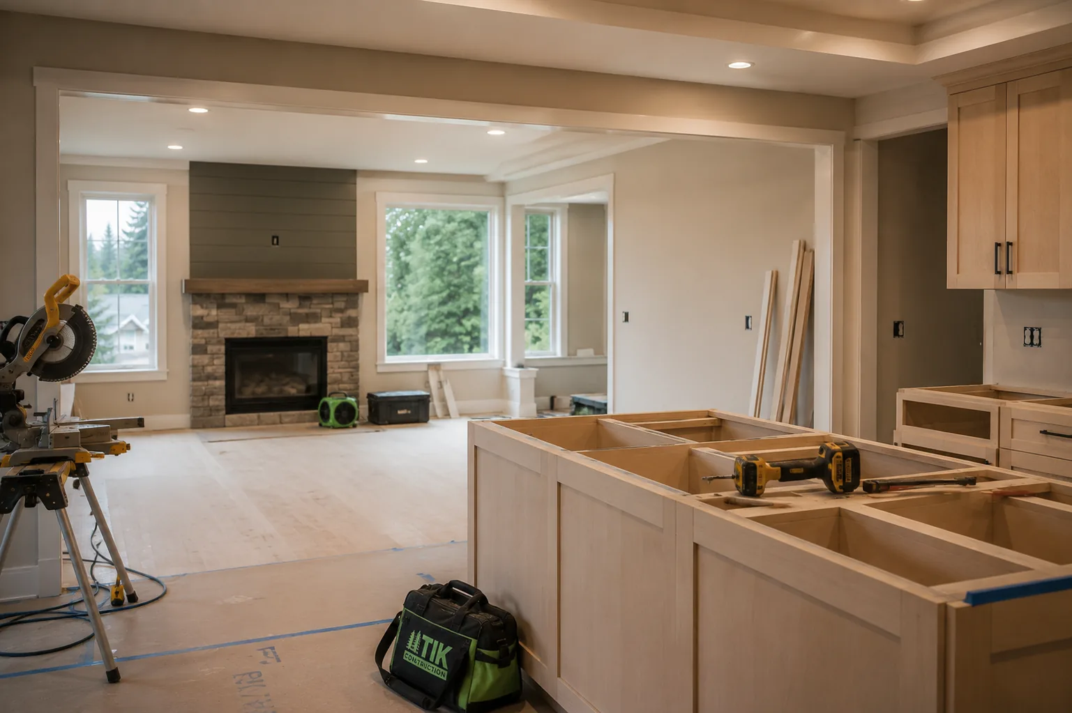
Typical reconstruction scenario in Woodland: Reconstruction in Woodland spans two eras — careful trim and finish matching in the older Craftsman homes west of I-5, and straightforward modern-finish work in the newer subdivisions built east of the freeway since the 1990s.